Description
Yokwa is the chief village of the tribe. It is fairly well-built on the side of a spur facing north. Water is plentiful and there is a good camping ground just beiow the
village on the north-east side. The village was formerly heavily stockaded, but the fortifications are now in ruins and the village is commanded from the south and at long range from the mule-track on the ncrth side of the Yokwa stream, which is one of the sources of the Nanpathi. Yokwa gets but little tribute from its smaller villages, but collects a somewhat large land-tax, which is paid to individual chiefs and not to the Ywa Bon.”The latter cannot be said to have much influence, but the tribesmen are peaceful and appear to be able to settle their own affairs. The Yokwas feebly resisted the approach of the Chin-Lushai expedition and gave some trouble along the road in 1891. The Yokwas are now on good terms with the Burmans, and by frequent intercourse with them have become in
a way more civilized than the other tribes. All the Yokwa villages are of the ordinary
type and all the people, except the inhabitants of Lamtok and Rawvan, are “Lais.” The Rawvan and Lamtok people are really Chinmès and are called ” Torrs” by the “Lais.”They are considered a degraded race and their customs are certainly more filthy and repulsive than those of any other Chins. It has sometimes been asserted that they are
of the same race as the Haitsi-Lopa people and some of their traditions would appear to bear out this supposition. Taunghwe, a Whenoh village, is reached in 2 miles from Shellum. Village contains 30 dilapidated houses. Water-supply sufficient near village in various nullas.
The path now descends to a good stream 1mile from village.Thence the path rises steeply and then enters heavy timber jungle, ascending steadily to a small stream mile. Following the east face of the hill for a mile it crosses at a saddle to the west face and ascends rapidly through heavy timber to the top of the Imbukklang, where there is open ground.
Laiyaul, a Whenoh village of 30 houses, is seen lying to south of road taken.
The Inbukklang is crossed at an elevation of 7,100 feet. A myithn wallow is on the left of road high upon mountain with lots of water early in cold weather. After crossing the Inbukklang the road twists and winds down the side of the mountain to Botung village inhabited by Yahows and Whenohs mixed. Village 50 houses. Water-supply good at village and in
numerous streams in vicinity. Good camping-grounds all round. A lard-
slip near the village has forme a large plateau, across which roads lead to
Kapwul.Path leads steeply down to stream and directly towards the Nwengal village of Saimon, which is in plain view from Botung. General direction north-
north-east, distance 4 miles. Water in plenty; also camping-grounds. Vil.
lage subordinate to Falam and peopled by Norns from Shinshi and Kapwul.
Path ascends gradually, crosses the main ridge, and descends steeply at first,
then more gradually to Yantui village; direction north-east. Village of 30
houses. Yantui to Hele village is 8 miles and road to Tiddim could pass vid Hele, Paiyan, cross the Manipur river at the Hwelzun fard ; thence to Saiyan and to Tiddim,path descends steeply to the Manipur river, which is crossed at the Molbem ford,and Molbem village is reached in 2.5 miles of very stiff climbing from the bed of river.


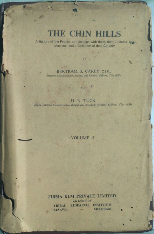
Be the first to review “THE CHIN HILLS -A History of the people,our dealings with them,their customs and Manners,and a Gazetteer of their Country BY BERTRAM S. CAREY C.I.E., AND H.N. TUCK VOLUME 2”
You must be logged in to post a comment.